
Street-level maps of rent, income, and household density
Hyperlocal maps of rental prices, household density, and income distribution — standalone, or as live inputs feeding your site scoring.

What's included
Hyperlocal Rental Benchmarks
Street-level rental price estimates, built from real listings and market data rather than city-wide averages.
Household & Income Density
Fine-grained maps of household density and income distribution, at a resolution city-wide census data can't reach.
Consistent Grid Resolution
Data delivered on a consistent spatial grid, making it easy to compare, aggregate, or feed directly into other models.
Feeds Directly Into Site Scoring
Use these surfaces standalone, or as live inputs into your site selection and market entry models.
Use cases
Building a Rental & Income Surface for Hyderabad
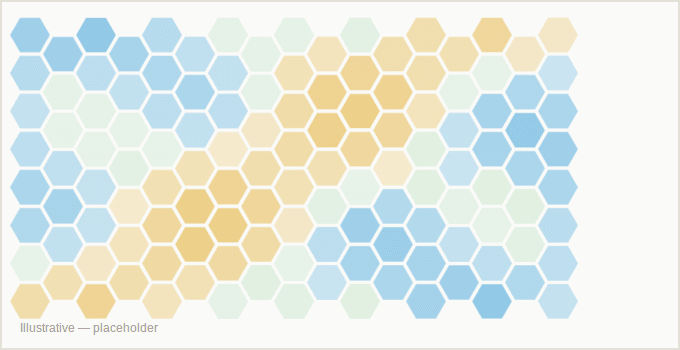
An in-progress engagement mapping rental prices, household density, and income distribution across Hyderabad at a hyperlocal resolution — designed to plug directly into future site-scoring work in the city.
Other solutions
Site Selection & Expansion Scoring
We tell you which locations will succeed
View solutionRetailer, Dealer & Distributor Mapping
Find every retailer, dealer, and distributor for your product
View solutionMarket Entry & Network Health
Know if a market is worth entering, and what your network is telling you
View solutionTell us the location question you're trying to answer
We'll tell you what the data can say about it — and whether we're the right fit.